If you want to section hike it, its entire North American part is covered by the Eastern Continental Trail (ECT), which some people (very few, as in a tiny fraction of all A.T. thruhikers) thruhike it in a single calendar year.
A lot also settled in the farmlands of Western Kentucky and brought sheep farming along with them, which is how it emerged as a very intense (mutton, pork, chicken, beef) bbq region.
Owensboro has the best
Old Hickory is the place you want, but there's also like a week of bbq festival every year with dozens and dozens of cooking teams. You'll find pockets of bbq in Madisonville, Lexington, Louisville, etc.
The mutton and chicken and pork is long cooked, low and slow, over hickory wood, and the baste and sauce has a lot of vinegar in it that breaks down the tough meat and makes it super tender. It's not spicy like the US west or southwest, and doesn't have all the sugar that Kansas City bbq does.
Pretty much the whole of the Middle East, and consequently most of Glasgow following the various diasporas.
There used to be a place on Allison Street that did a kind of mutton liver and spinach stew with fenugreek and green chillis that I am currently right at this moment prepared to drive a 12-hour round trip to buy.
glancing at that map, an interesting (to an American mostly just cuz we think we know our own geography) trivia factoid came to mind:
Q: Where in the US are you closest to Africa?
I'll explain the answer key at the bottom so you don't see them sooo readily if you want to think about it... but whatevs
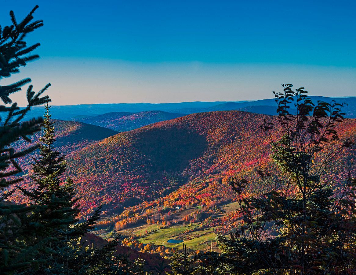
an entirely different interesting factoid, the Catskill Mountains in NY State, which seem to be part of the Appalachian Range, are in fact not mountains at all. What appear to be mountains is actually erosion of a high plateau, leaving mountainous appearing hills https://static1.thetravelimages.com/wordpress/wp-content/upl... (they are however connected to the Appalachians, they just aren't mountains)
According to this study from 2005 [1] the Appalachians are eroding 6 meters per 1 million years while the rivers are incising 30-100 meters per same time period. So they're technically still becoming more rugged.
I visited Scotland last year. They bring this up a lot on tours. Some of the distilleries also bought land in the Appalachian region to grow trees to make future whiskey casks.
In Scotland, surely they're concerned with the future supply of whisky casks, not whiskey casks.
Also, AIUI, because bourbon has to be aged in new white oak barrels, you find a lot of former bourbon barrels aging distilled spirits all throughout the world, Scotland included.
Interesting, I just looked up the details on this[0]. I’m surprised they didn’t hammer that home as well. I thought maybe you were just being pedantic at first, but that’s a good call out. I did make sure to say cask instead of barrel, as a barrel is just one size option for a cask.
They did talk about the rules of scotch vs bourbon and how some of that supply chain works for reuse.
<Maximum pedantry mode engaged> Either could be correct, because whisky casks begin as whiskey casks. It's wise to be aware of all the links in your supply chain!
If ya think that's neat, go check out the idea behind Baja BC - that huge chunks of British Columbia and Alaska, as well as portions of Washington, were once down by Baja Mexico.
Nick Zentner, a geology lecturer at Central Washington University, takes a particular subject and does a relatively deep, discussion oriented, dive into it over the course of 26 sub-topics... his "A to Z" series. In these he does a couple streamed shows a week and includes links to relevant papers and resources. At the end of each session is a viewer Q&A for those watching live. Almost an online continuing education course....
Of central importance to the first half of the current Alaska series is recent paper by geologist Robert S. Hildebrand titled: "The enigmatic Tintina–Rocky Mountain Trench fault:a hidden solution to the BajaBC controversy?"
What's great about these series is that he'll get a number of the geologists writing these papers involved in one way or another. Either contributing interviews or talks specifically for the video series, or like in the case of this Hildebrand centric work in the current series, Hildebrand himself is watching the stream and participating in the live chat with the other viewers, answer questions and the like.
Hell yeah!!! Huuuuge Nick Zentner fan here, he's the entire reason I even knew about it. I'm a PNW resident and love attending his lectures in April. If you can make it, please do!
When I learned this, I also learned that in the Appalachian Mountains, the valleys were the peaks originally and the peaks are what were the valleys. This has to do with the type of rock and the erosion that has happened; the original peaks were a softer rock. That mountain range was extremely tall at one point.
The southern end of the Atlas, the Anti-Atlas range, is from the same formation as the Appalachans. The rest of the Atlas came from a different (later?) event.
Nova Scotia and Scotch-Irish settling in Appalachia (another comment). Interesting thought process how a people managed to find their ideal land in spite of continental drift.
There has been an obvious tendency for Europeans to migrate to areas similar to where they came from. A lot of Finns migrated to Minnesota I believe because it is full of trees and lakes and has cold winters much like Finland!
> In the Paleogene and Neogene Periods (~66 million to ~1.8 million years ago), the mountain chains that today constitute the Atlas were uplifted, as the land masses of Europe and Africa collided at the southern end of the Iberian Peninsula.
But it also notes,
> The Anti-Atlas Mountains are believed to have originally been formed as part of the Alleghenian orogeny. These mountains were formed when Africa and America collided
Anti-Atlas? If we jump over to the Anti-Atlas article we see,
> In some contexts, the Anti-Atlas is considered separate from the Atlas Mountains system, as the prefix "anti" (i.e. opposite) implies.
and
> The summits of the Anti-Atlas reach average heights of 2,500–2,700 m (8,200–8,900 ft),
So in addition to subsequent events, the portion of the Atlas originally formed with the Appalachian is geologically distinguishable from the other portions of the Atlas chain, and actually significantly lower than the parts of the chain formed later, though not as low as the Appalachians.
I'm finding it difficult to believe that map relates to the title. It's not showing just the Scottish Highlands (roughly speaking the north-west half of Scotland), but the whole of Scotland, Ireland and Wales, plus about half of England, including the famously flat Lincolnshire fens.
So, you expected a map that omits all adjoining land to the mountains?
Most people wouldn't object to an article about Kilimanjaro containing a map of where it is in Tanzania, but for reference, here is a map of just the mountain: O.
The Himalayas formed because the Indian craton moved exceptionally fast northward (all the way from Antarctica) and collided with Eurasia, one of the fastest sustained plate motions known in geological history.
The collision with Asia began around 50–55 Ma and is still ongoing, which is why the Himalayas are still rising today.
They're also mountain ranges formed from the collision of plates? Otherwise, nothing, the timelines of the formation of the Himalayas and the Appalachians are hundreds of millions of years apart.
I would file this under blogspam, given the length of the article, the atrocious oversimplifying, highly compressed map and the number of ads.
If you are interested in the geology of Scotland, there are excellent books available, including "Land of Mountain and Flood: The Geology and Landforms of Scotland". I am sure good books about the Appalachians and the Atlas are available, too.